
South St. Paul ZIP Code Coverage
ZIP 55075 is the primary South St. Paul mailing ZIP identified in the Dakota County map area. The same county map also shows 55076, 55107, and 55118 nearby. Those labels are useful for orienting a search around South St. Paul, but they do not establish that every address in a labeled area is inside the city. The county research did not locate a complete all-address ZIP roster, a citywide street-by-street ZIP list, or a verified historical realignment date. Treat the rows below as a working local set, not as a claim that each ZIP is wholly municipal.
| Postal area | Local relationship | Verification route | Careful reading |
|---|---|---|---|
| 55075 | Primary South St. Paul mailing ZIP in the county-map area | USPS address lookup and Dakota County ZIP map | Start here for a South St. Paul address, then confirm the exact delivery result. |
| 55076 | Nearby Dakota County postal area on the county map | USPS address lookup and map | Do not treat a nearby label as a city-limit line. |
| 55107 | Nearby St. Paul and West St. Paul postal context | USPS address lookup and map | Use the municipality returned for the particular address. |
| 55118 | Nearby Dakota County and West St. Paul postal context | USPS address lookup and map | Check edge addresses rather than assuming city coverage. |
A post office station, PO-box-only designation, or unique institutional ZIP was not established for this local set. The research also found no basis for assigning named South St. Paul neighborhoods to individual postal areas. Exact delivery results, not a broad map label, settle those questions.
South St. Paul Postal Map Context
The county ZIP PDF is a practical first comparison when an address looks close to South St. Paul, West St. Paul, or St. Paul. It gives a visual frame for 55075 and the nearby labels before the address is checked in a postal tool. It is still a cartographic reference, not a postal ruling. A South St. Paul ZIP code directory should use it for orientation, then preserve the printed municipality instead of changing it to the city name that seems most familiar.
The Dakota County ZIP map is shown below as the source image for the nearby postal geography.
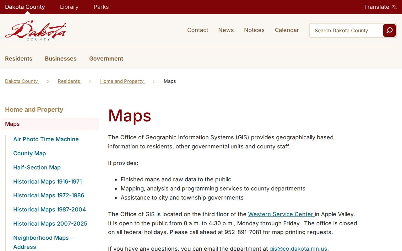
The image helps place the labels in relation to one another. It does not identify a resident, determine a legal boundary, or replace an address-level USPS result.
Verify an Exact South St. Paul ZIP Code
For an individual address, use the official USPS ZIP Code Lookup and save the city, state, and postal result exactly as returned. Keep house number, unit or lot, directional prefix, and street type intact. Avenue, Street, Road, and Drive are not interchangeable search text, and a ZIP+4, if returned, refines a delivery point rather than identifying a parcel or a person. The research did not capture a populated South St. Paul USPS result, so it does not support reproducing a sample result or promising a particular ZIP for an untested address.
The USPS ZIP lookup entry point appears in the captured source image.
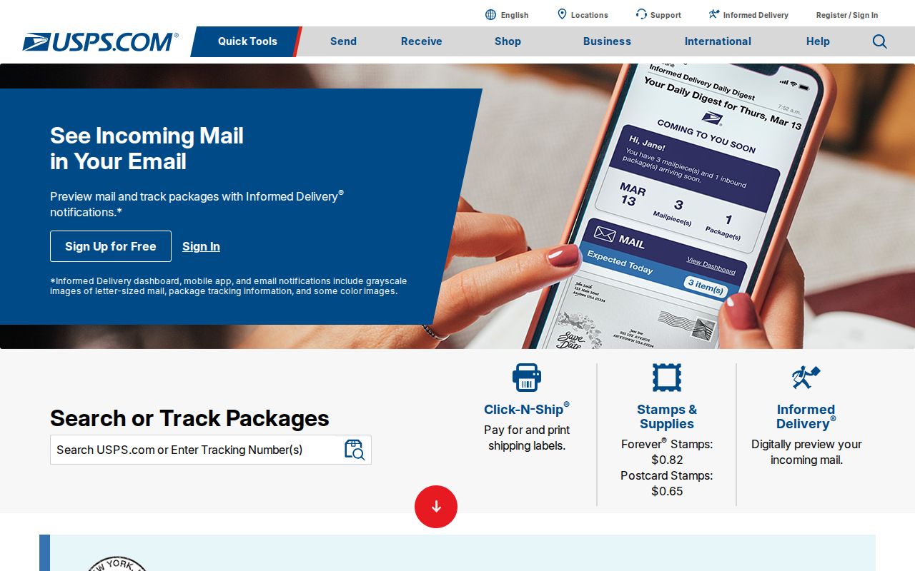
Use the official form with a complete address rather than relying on a screenshot or a citywide estimate. A delivery result can also reveal that the postal municipality differs from the municipal boundary used by a land-record search.
South St. Paul Postal Parcel Fields
After postal verification, Dakota County Property Information ties the address to the county parcel layer. Its documented public search modes are street address and parcel ID, not owner name. The property page can supply a parcel card, tax data, statements, valuation notices, sketches, map position, and the municipality or legal-description context needed to distinguish one similarly named road from another. A situs address may differ from a mailing address, so neither field alone proves where a person currently lives.
| Property Information field | Documented use | ZIP research limit |
|---|---|---|
| Street address | Address text with autocomplete; start with house number and street. | Normalize directional suffixes and street type before comparing the postal result. |
| Parcel ID or PIN | Parcel ID text; more stable than a name. | Use it to bridge the postal line to map, tax, and deed work. |
| Owner name | Not identified as a public search mode. | Do not promise owner-name searching from this page. |
| Layers and legend | Parcel, aerial, contour, park, road, floodplain, and related controls. | Useful for location context, not a ZIP-wide resident list. |
| Print property card | County-described output route. | Retain the parcel ID and date because map data can change. |
The legal description belongs in the recorder or history trail, while the PIN is the most durable bridge between the county map and tax material. Both are more dependable than assuming that every property with a familiar postal city line falls inside South St. Paul.
Search South St. Paul by ZIP Code
A South St. Paul ZIP code directory narrows geography, but it does not produce a public roster of everyone in that area. The address-to-parcel route is the appropriate local method. It keeps postal geography separate from the current county parcel record, then leaves any historical household work to dated directories and archives. Once the ZIP and municipality are settled, a full road-by-road record chain belongs in the South St. Paul street directory.
- Begin with a lawfully obtained full address and run the USPS lookup. Save the city, state, ZIP, and ZIP+4 exactly as returned.
- Compare the address against the Dakota County ZIP map and the city street map. For a border area, do not replace the returned municipality with an assumed one.
- Search Dakota County Property Information by street address or parcel ID. Record the situs address, parcel ID, map position, municipality, and legal-description clue.
- If election geography matters, use Dakota County Find My Polling Place for the address. It returns precinct and polling information, not a household-name search.
- For older occupants, use the printed street and number with an edition-specific directory or archive source, and record the year with the result.
A missing permit, map result, or directory entry should remain a missing result for that source. It does not prove that a person never lived there or that the postal address was wrong.
South St. Paul ZIP Code City Lines
Postal geography and municipal geography answer different questions. A ZIP match cannot prove that an address lies within South St. Paul city limits, and a city location does not authorize a researcher to redraw a postal boundary. This matters most on edge addresses, where the county ZIP map, property map, city street map, and USPS result should be read together. The research located no verified ZIP split, realignment year, or complete street-by-street ZIP schedule for South St. Paul, so a claimed historic change should be left unresolved until an official source provides it.
Keep the parcel ID, exact mailing line, and map date with any comparison. A mismatch may reflect postal delivery geography, a parcel boundary, a historic naming change, or a simple data-entry issue. The official source for the particular question should resolve it.
- ZIP code
- A postal delivery area used to route mail. It is not a legal city boundary or a resident record.
- ZIP+4
- An added delivery detail that USPS may return for a specific address. It does not identify ownership or residency.
- PO-box ZIP
- A postal designation used for post-office boxes. None was verified for the South St. Paul working set.
- Unique ZIP
- A ZIP assigned to one organization or institution. None was verified for the South St. Paul working set.
- Carrier route
- A mail-delivery route within a postal area. It is not a public directory of people at each address.
Edge-address rule. Keep the USPS city line, county parcel municipality, and city-map position together when they do not appear to match.
South St. Paul ZIP Code Precinct Check
ZIP information can be paired with election geography only through the address. Dakota County's Find My Polling Place tool accepts an address and returns precinct and polling-place information. It is not a name search and does not identify a household. The county election contact is available at 651-438-4305 and elections@co.dakota.mn.us, with the Administration Center at 1590 Highway 55 in Hastings for election questions. The official material also identifies South St. Paul P-5 as having Spanish-language minority-language materials, a detail that applies to that precinct rather than to every precinct in the city.
A statewide voter-list request is a separate, controlled process under Minn. Stat. §201.091. The Secretary of State form offers geographic products such as an entire city or ward and precinct, requires a signed permitted-use certification, and says the current form is fulfilled within five business days. It is not an instant ZIP lookup, and it should not be used to build a public household list.
South St. Paul ZIP Code Map Access
When a web map is unavailable or a larger map is needed, Dakota County offers additional routes. The Map Catalog accepts city, section, grid, USNG, address, and parcel ID searches before a map type or download is selected. The Western Service Center in Apple Valley has two Dakota County Property Information terminals in the main atrium. The GIS office is on the third floor, is open 8:00 a.m. to 4:30 p.m. Monday through Friday except federal holidays, and can be reached at 952-891-7081 or GIS@co.dakota.mn.us.
USPS customer or address support is the postal fallback for an unresolved delivery question. City planning or the City Clerk can help sort city-map context, while historical maps, plat maps, directories, and newspapers are better pursued through a library or archive. A South St. Paul ZIP code directory also relies on these phone, email, mail, and records-request routes when an online result is incomplete.
The Dakota County Online Property Maps image records the county's property-card and GIS access overview.
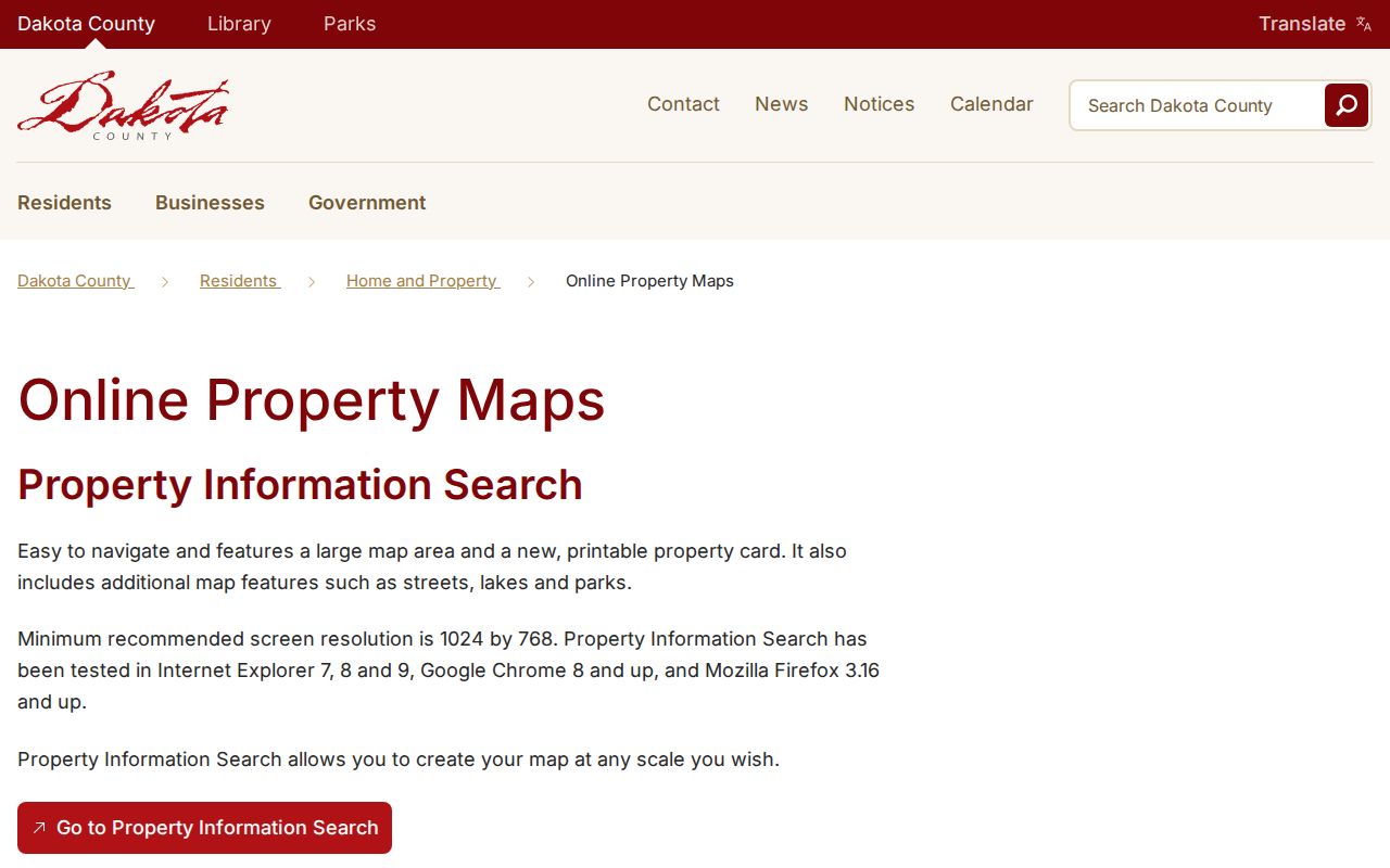
For a paper fallback, the county lists basic line maps from $2.90 for 8.5 by 11 inches to $34 for 34 by 44 inches, plus separate color-aerial prices and custom GIS work at $82.25 per hour. Requesting the needed area and scale is more useful than treating a general ZIP map as a parcel record.
South St. Paul ZIP Code Privacy Limits
A ZIP code directory organizes postal places, not a public list of people. Dakota County Property Information does not document a public owner-name search, and a map marker does not establish that a named person lived at a parcel. A dated directory, deed party, or another source can add historical context, but each source should be identified by its date and role. The Minnesota Government Data Practices Act starts with a public-data presumption while still requiring private fields and protected addresses to be withheld or redacted.
Minnesota Safe at Home provides qualifying participants with a substitute address and confidential voting. If a public source shows that substitute, keep it as the public record and do not try to infer an actual location. Use postal research for family history, civic curiosity, or an address question that has a lawful purpose. It is never a reason to watch, intimidate, or harass a person.